Search The Web
Please 'like' our Facebook page to see more aerial images: https://www.facebook.com/crawleyfromtheair
Sunday, 22 November 2015
Sunday, 4 October 2015
SEVEN PICTURES: Ifield Mill Pond
Click any image to view in higher resolution
Video available at https://www.youtube.com/watch?v=SFrk3NcO84I
Tuesday, 22 September 2015
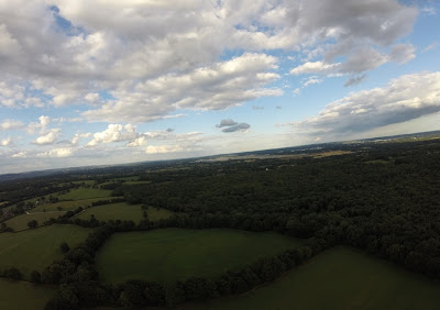
TWENTY NINE PICTURES: Aerial views of North Horsham from five locations (and one ground location)
All this will soon be built on, so here's the archive!
Click on any image to view at a higher resolution
Close to Rusper Road roundabout
The brow of the hill on Rusper Road as you head towards Rusper
Langhurst Wood Road
The top of the hill on Old Holbrook
Wimlands Road
Close to the Wimlands Road/Wimlands Lane junction
Monday, 10 August 2015
TWENTY EIGHT PICTURES: Rusper/Newdigate/Charlwood triangle
6 sets of pictures taken on 25 July 2015 in the Rusper/Newdigate/Charlwood triangle On the Rusper Road/Partridge Lane/Parkgate Lane circle, with a small detour to Cudworth Lane.
See the map at the end of this blog for exact locations
Click any image to view in greater detail
Lowfield Heath Windmill, at Charlwood(!) is visible just to the right of centre.

See the map at the end of this blog for exact locations
Click any image to view in greater detail
SET ONE - Taken from half a mile north of the Russ Hill turning on Partridge Lane
Lowfield Heath Windmill, at Charlwood(!) is visible just to the right of centre.
SET TWO - Taken from another half a mile north on Partridge Lane, near the junction with Burntoak Lane
SET THREE - Taken near the junction of Partridge Lane and Blanks Lane
SET FOUR - Taken from the junction of Cudworth Lane and Green Lane
SET FIVE - Taken from Newdigate playing fields (from two different heights)

SET SIX - Taken from opposite Rusper Golf Club
The Map!
Subscribe to:
Comments (Atom)


